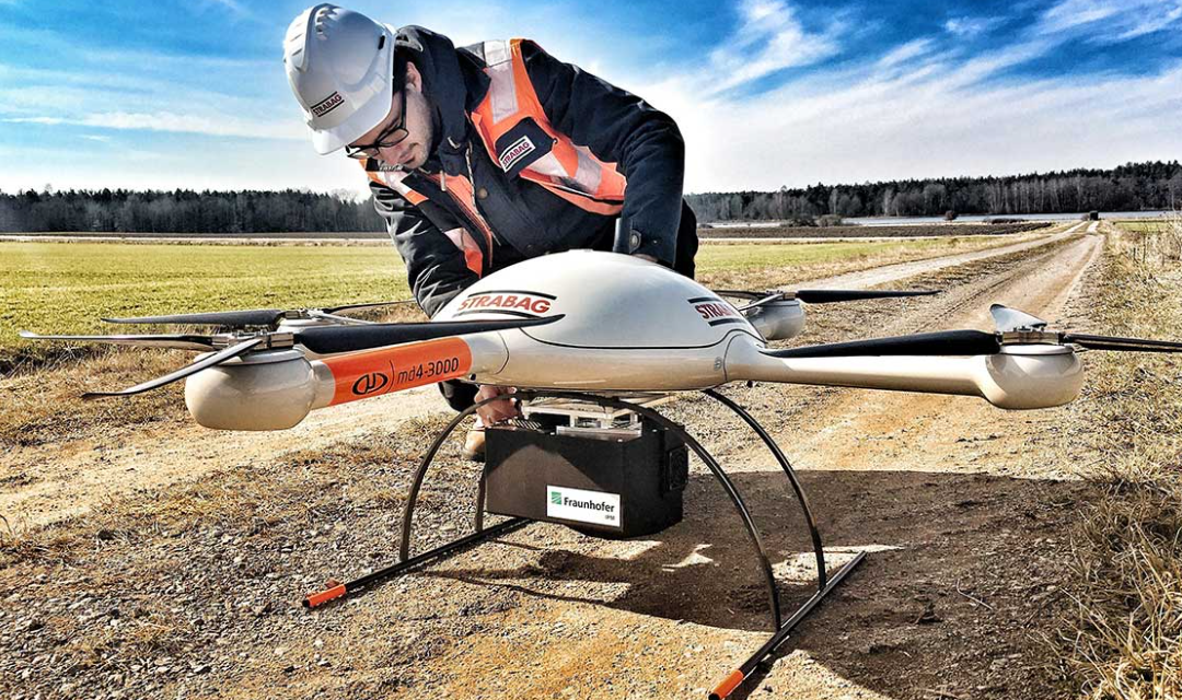
Aerial drone mapping is the process of using a drone to collect data about the earth’s surface from a bird’s-eye view. This data can be used to create detailed maps and 3D models, which can be used for a variety of applications such as planning, surveying, and relief efforts.
Drone mapping is a relatively new technology, and as such, there are a few clear advantages it has over traditional mapping methods. For one, drones can cover a lot more ground in a shorter amount of time. They can also access hard-to-reach places, such as steep inclines or deep valleys, that would be difficult or impossible for a human to reach.
Why is aerial drone mapping important?
Aerial drone mapping is quickly becoming an essential tool for a variety of industries. By providing a bird’s eye view of an area, drone mapping can be used for everything from surveying land to mapping disaster areas.
But why is aerial drone mapping so important? There are a few key reasons:
- It’s cost-effective: Aerial drone mapping is much cheaper than traditional land surveying methods, making it a great option for budget-conscious businesses and organizations.
- It’s safe: Drone mapping can be done without putting people in danger, which is essential for hazardous or difficult-to-access areas.
- It’s accurate: Modern drones are equipped with high-quality cameras and sensors that allow for precise mapping.
Some of the most common uses for drone mapping include surveying lands for various purposes, such as environmental conservation or agricultural planning. Drone mapping can also be used to create 3D models of buildings and other structures. This technology can also be used for disaster relief efforts, as it can help create a detailed map of an area that has been affected by a natural disaster.
What does the future hold for aerial drone mapping?
For the past few years, aerial drones have been used for an increasingly diverse range of mapping applications. From agricultural mapping to environmental monitoring, drones are providing us with new and innovative ways to collect data and create maps.
Looking to the future, it is clear that drones will continue to play a major role in mapping. As drone technology advances, drones will become more and more sophisticated, capable of carrying out more complex mapping tasks. We will also see an increasing number of drones being used for mapping as the costs of drone technology continue to fall.
We can be sure that aerial drone mapping will be exciting and that drones will continue to revolutionize the way we map the world around us. For more information visit this website!
